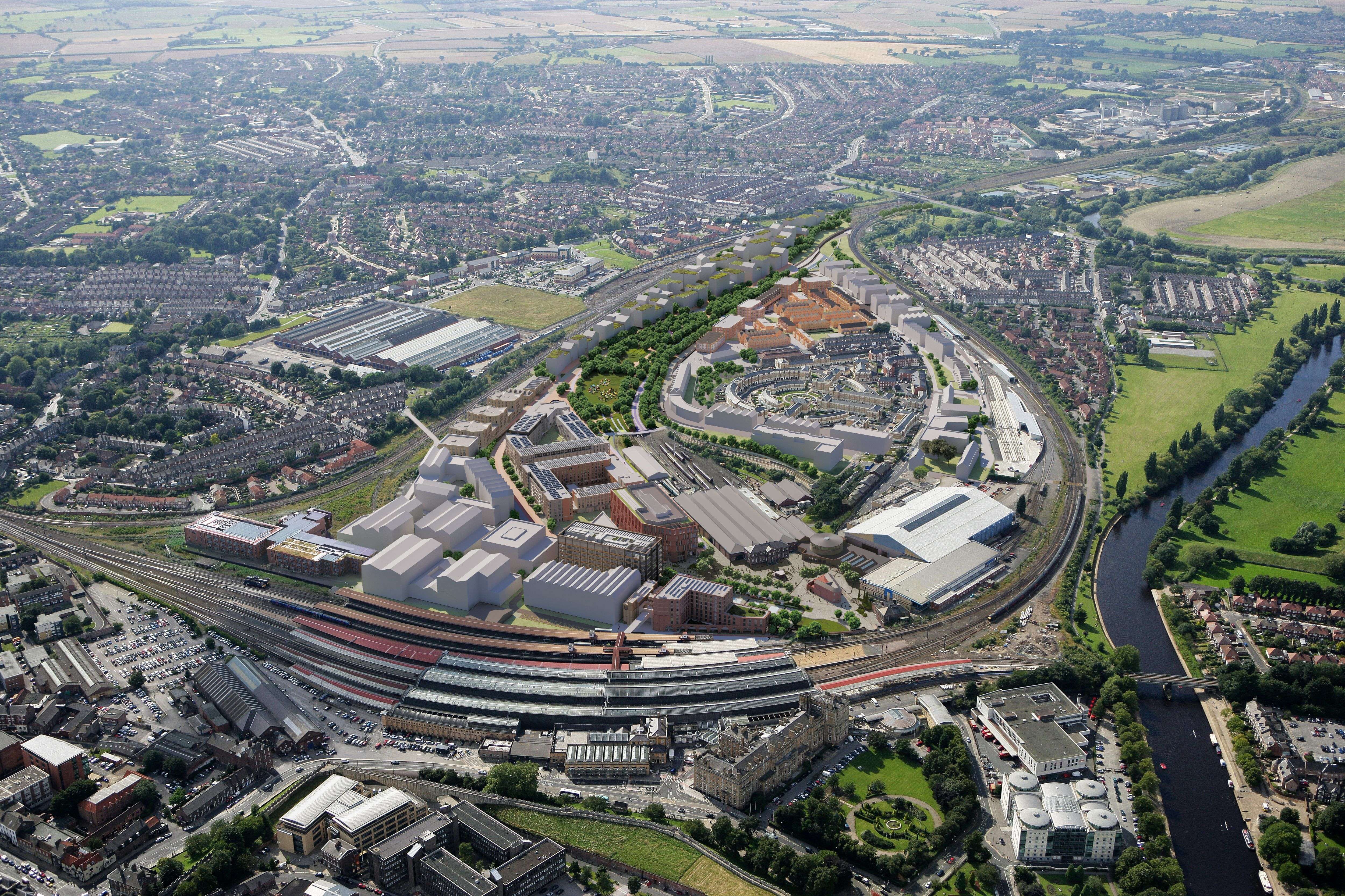
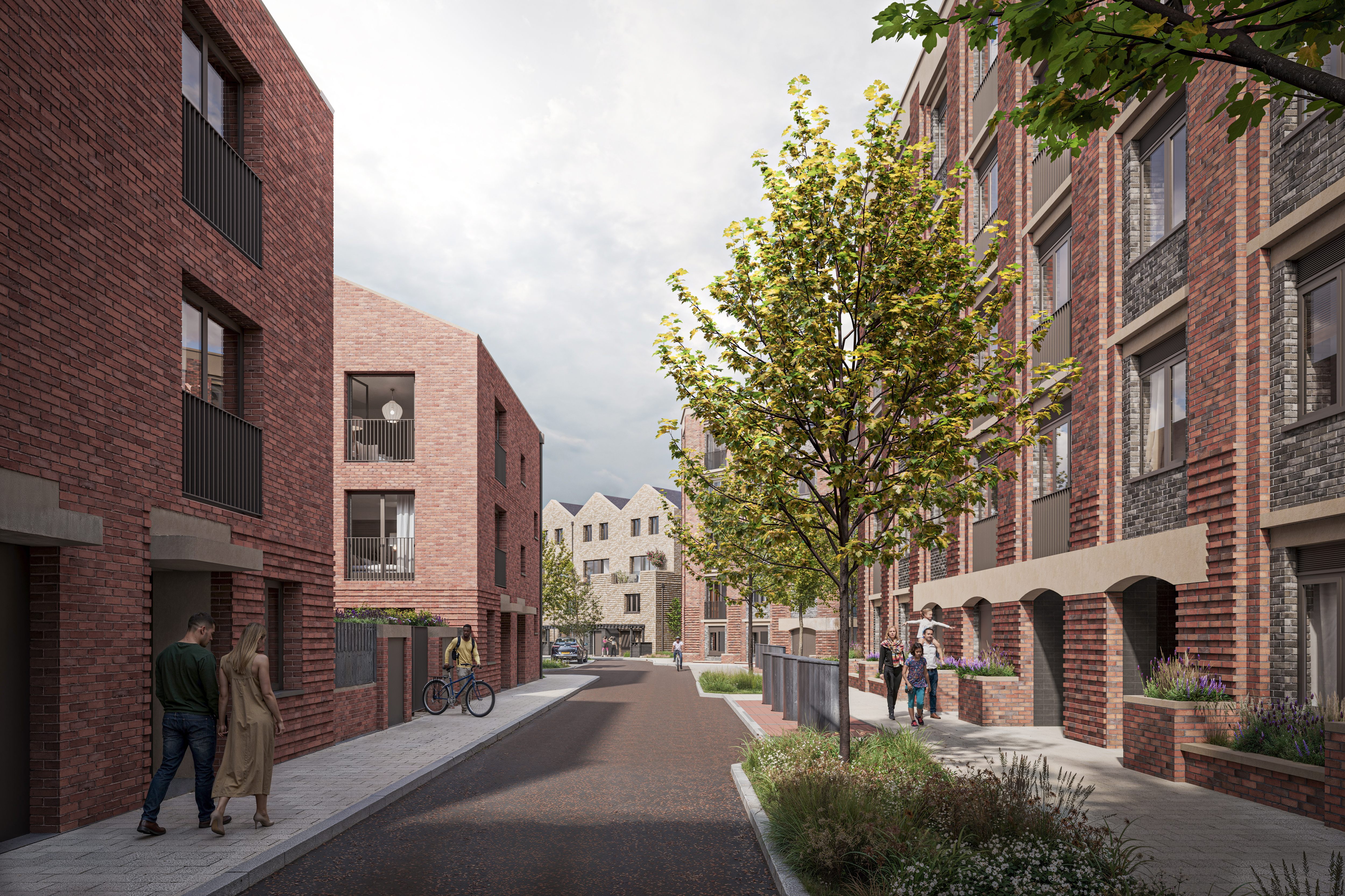
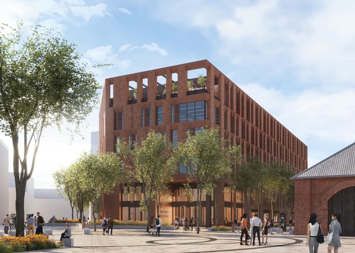
York Central is one of the most ambitious regeneration projects in the UK. Spanning 45 hectares, or roughly the size of 64 football pitches, the £2bn development will transform a vast area of underused land beside York railway station into a new mixed-use neighbourhood.
For a site of this scale, delivering improved connectivity is essential. The site sits alongside one of the busiest railway stations in the country and borders existing residential communities. Its success depends on how well it links into the wider city.
Working for McLaren Property and Arlington Real Estate, we devised a wayfinding strategy that focuses on improvement movement across the site, and connectivity to places beyond the site boundary, to help users build a mental map as the development emerges over time.
Our approach began with site visits to explore York Central's relationship with the surrounding city, its transport connections and the character that makes York unique.
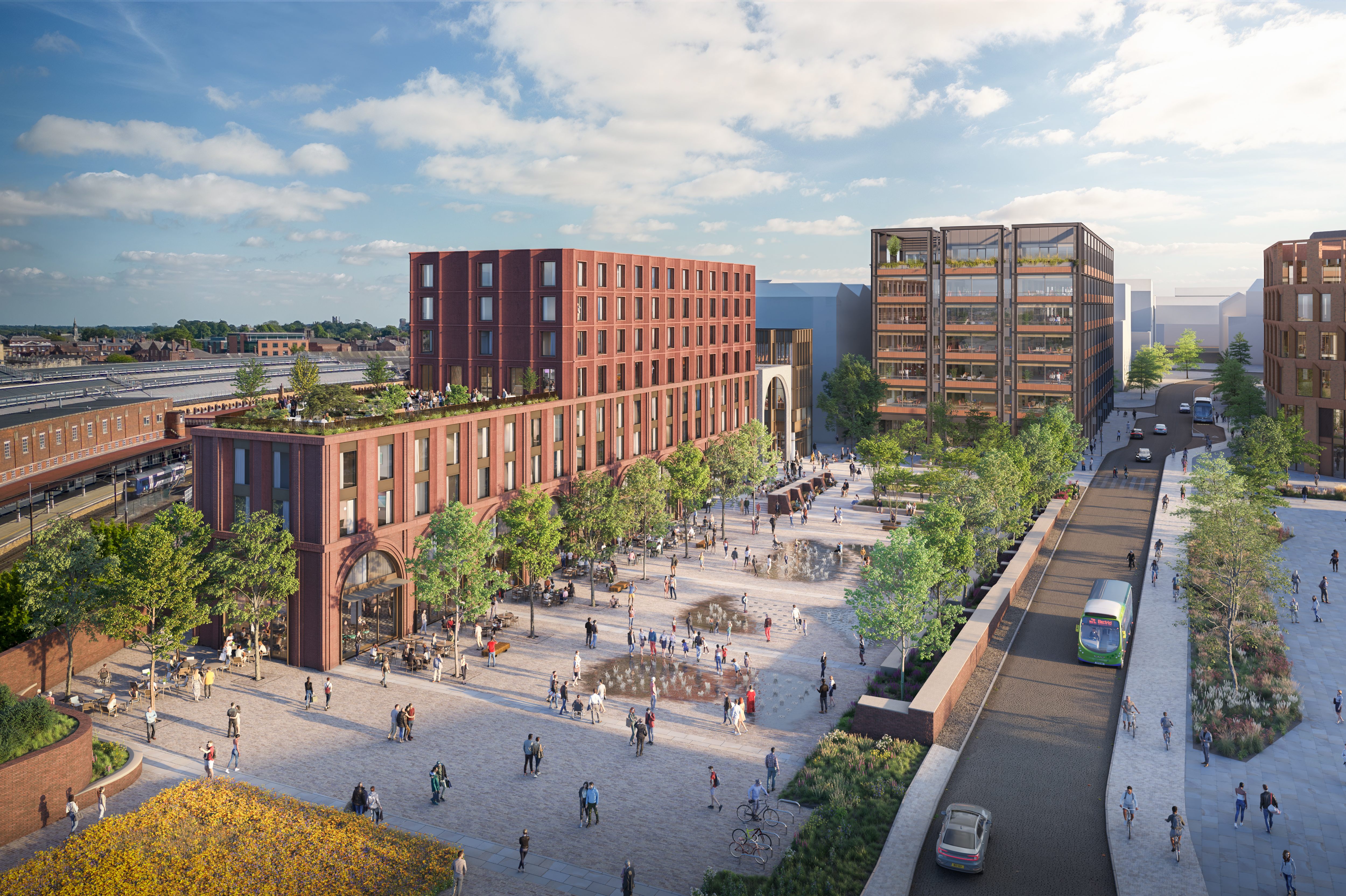
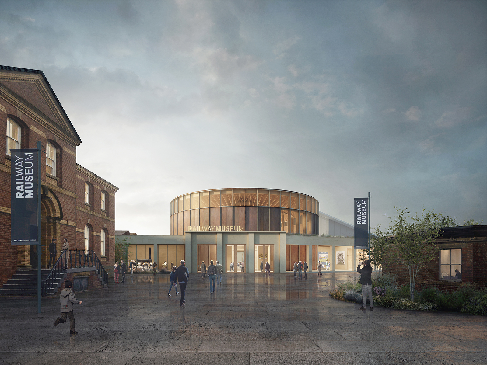
We developed a strategy that complements the wider vision for the site, with a key focus on improving connectivity. The strategy considers how visitors will move between York railway station, neighbouring communities and key destinations across the development.
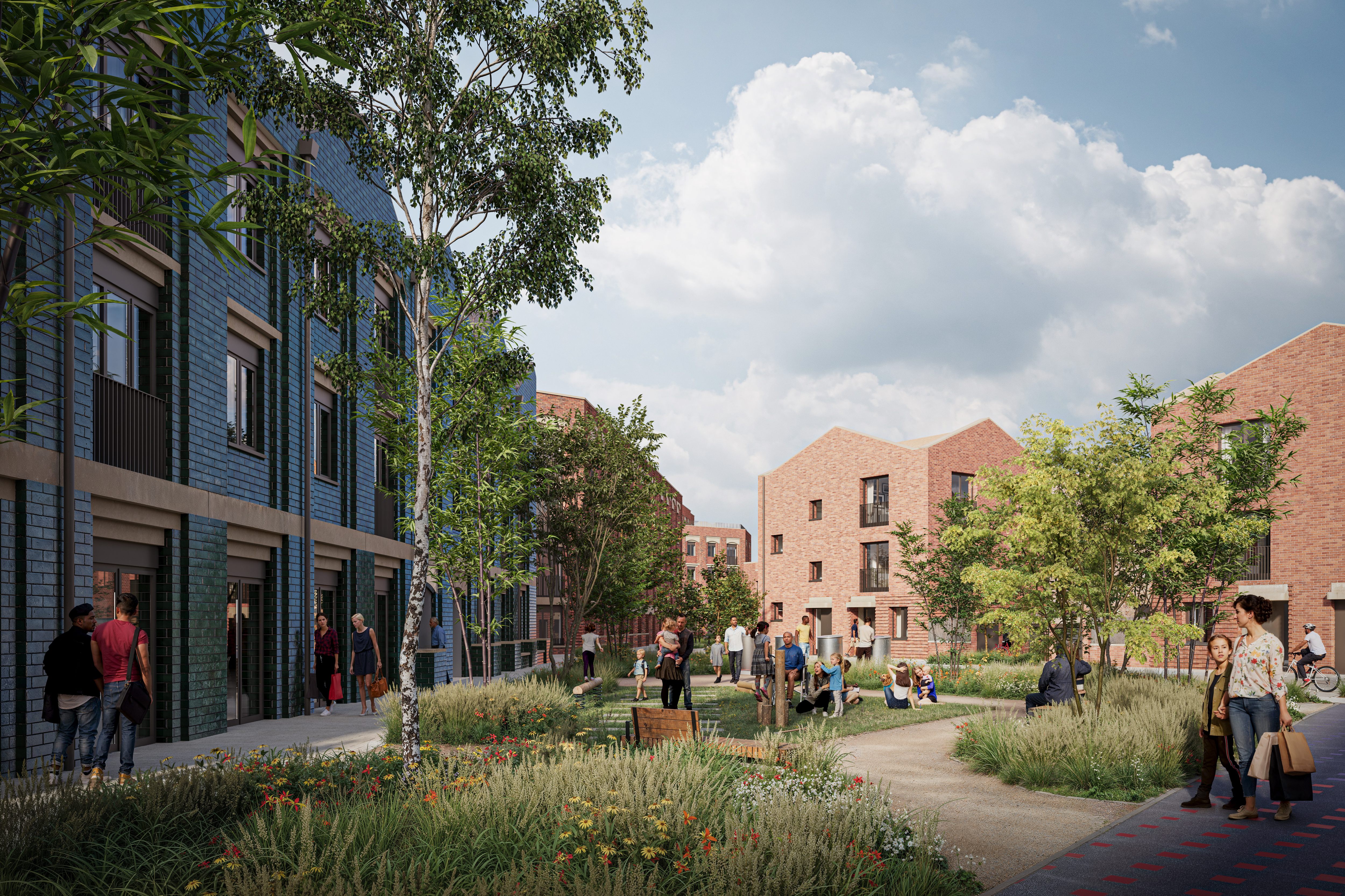
Given the phased nature of the development, a phased wayfinding approach will also play an important role. We’ve advised on the best approach to help communicate what’s happening on site, maintain access routes and reinforce the emerging identity of the new neighbourhood.
Our strategy supports intuitive navigation from the outset while adapting as the development evolves.
By establishing clear routes and road hierarchies, the strategy will help visitors move through the site and, importantly, has been designed with change in mind.
As new phases are delivered, the wayfinding interventions can evolve alongside them.
The next phase of wayfinding support will focus on developing a concept design for the site-wide wayfinding.
All imaged credited to York Central Limited.